

L’articolo è stato aggiunto alla lista dei desideri








LIBRO INGLESE
 E-mail
 Facebook
 LinkedIn
 Twitter
 WhatsApp
Interacting with Geospatial Technologies
(0)
Cliccando su “Conferma” dichiari che il contenuto da te inserito è conforme alle Condizioni Generali d’Uso del Sito ed alle Linee Guida sui Contenuti Vietati. Puoi rileggere e modificare e successivamente confermare il tuo contenuto. Tra poche ore lo troverai online (in caso contrario verifica la conformità del contenuto alle policy del Sito).
Grazie per la tua recensione!
Tra poche ore la vedrai online (in caso contrario verifica la conformità del testo alle nostre linee guida). Dopo la pubblicazione per te +4 punti 

111,57 €

-5%
117,44 €
+1120
punti
Venditore: IBS
Articolo acquistabile con Carta del Docente

Articolo acquistabile con Carta Cultura Giovani e Carta del Merito

Articolo acquistabile con Carta della Cultura

Paga con Klarna in 3 rate senza interessi per ordini superiori a 39 €

Dati e Statistiche
 Salvato in 0 liste dei desideri
Salvato in 0 liste dei desideri
Interacting with Geospatial Technologies
Disponibile in 5 gg lavorativi
111,57 €
-5%
117,44 €
111,57 €
117,44 €
-5%
Disponibile in 5 gg lavorativi
Altre offerte vendute e spedite dai nostri venditori
Libri in Inglese
Interacting with Geospatial Technologies
Altri venditori
Prezzo e spese di spedizione
LIBRO INGLESE
Disponibile in 5 gg lavorativi

Venduto e spedito da
IBS
Spedizione Gratis
-5%
117,44 €
111,57 €
Altri venditori
Prezzo e spese di spedizione
LIBRO INGLESE
Disponibile in 5 gg lavorativi
Venduto e spedito da
IBS
Spedizione Gratis
-5%
117,44 €
111,57 €
Altri venditori
Prezzo e spese di spedizione

Tutti i formati ed edizioni
Promo attive (1)
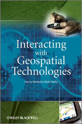
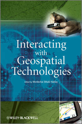
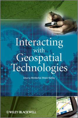
This book provides an introduction to HCI and usability aspects of Geographical Information Systems and Science. Its aim is to introduce the principles of Human-Computer Interaction (HCI); to discuss the special usability aspects of GIS which designers and developers need to take into account when developing such systems; and to offer a set of tried and tested frameworks, matrices and techniques that can be used within GIS projects. Geographical Information Systems and other applications of computerised mapping have gained popularity in recent years. Today, computer-based maps are common on the World Wide Web, mobile phones, satellite navigation systems and in various desktop computing packages. The more sophisticated packages that allow the manipulation and analysis of geographical information are used in location decisions of new businesses, for public service delivery for planning decisions by local and central government. Many more applications exist and some estimate the number of people across the world that are using GIS in their daily work at several millions. However, many applications of GIS are hard to learn and to master. This is understandable, as until quite recently, the main focus of software vendors in the area of GIS was on the delivery of basic functionality and development of methods to present and manipulate geographical information using the available computing resources. As a result, little attention was paid to usability aspects of GIS. This is evident in many public and private systems where the terminology, conceptual design and structure are all centred around the engineering of GIS and not on the needs and concepts that are familiar to the user. This book covers a range of topics from the cognitive models of geographical representation, to interface design. It will provide the reader with frameworks and techniques that can be used and description of case studies in which these techniques have been used for computer mapping application.
Leggi di più
Leggi di meno
Curatore:
Editore:
Anno:
2010
Rilegatura:
Hardback
Pagine:
320 p.
Testo in English
Dimensioni:
252 x 175 mm
Peso:
703 gr.
EAN:
9780470998243

L'articolo è stato aggiunto al carrello
Informazioni e Contatti sulla Sicurezza dei Prodotti
Le schede prodotto sono aggiornate in conformità al Regolamento UE 988/2023. Laddove ci fossero taluni dati non disponibili per ragioni indipendenti da IBS, vi informiamo che stiamo compiendo ogni ragionevole sforzo per inserirli. Vi invitiamo a controllare periodicamente il sito www.ibs.it per eventuali novità e aggiornamenti.
Per le vendite di prodotti da terze parti, ciascun venditore si assume la piena e diretta responsabilità per la commercializzazione del prodotto e per la sua conformità al Regolamento UE 988/2023, nonché alle normative nazionali ed europee vigenti.
Per informazioni sulla sicurezza dei prodotti, contattare productsafetyibs@feltrinelli.it
L’articolo è stato aggiunto alla lista dei desideri
