L’articolo è stato aggiunto alla lista dei desideri
LIBRO INGLESE

 E-mail
 Facebook
 LinkedIn
 Twitter
 WhatsApp
Philip's RGS Junior School Atlas
(0)
Cliccando su “Conferma” dichiari che il contenuto da te inserito è conforme alle Condizioni Generali d’Uso del Sito ed alle Linee Guida sui Contenuti Vietati. Puoi rileggere e modificare e successivamente confermare il tuo contenuto. Tra poche ore lo troverai online (in caso contrario verifica la conformità del contenuto alle policy del Sito).
Grazie per la tua recensione!
Tra poche ore la vedrai online (in caso contrario verifica la conformità del testo alle nostre linee guida). Dopo la pubblicazione per te +4 punti ![]()
11,87 €

-5%
12,49 €
+120
punti
Venditore: IBS
Articolo acquistabile con Carta del Docente

Articolo acquistabile con Carta Cultura Giovani e Carta del Merito

Dati e Statistiche
 Salvato in 0 liste dei desideri
Philip's RGS Junior School Atlas
Disponibile in 5 giorni lavorativi
11,87 €
-5%
12,49 €
11,87 €
12,49 €
-5%
Disp. in 5 gg lavorativi

Philip's RGS Junior School Atlas
Libri in Inglese
Altri venditori
Prezzo e spese di spedizione

Venduto e spedito da IBS
11,87 €
Spedizione gratuita
Altri venditori
Prezzo e spese di spedizione
Venduto e spedito da IBS
11,87 €
Spedizione gratuita
Altri venditori
Prezzo e spese di spedizione
Tutti i formati ed edizioni

Promo attive (0)
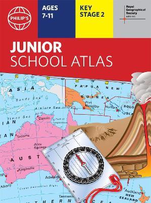
The 11th edition of the market-leading atlas for primary school pupils, Philip's RGS Junior School Atlas has been fully revised and updated with all the latest facts and curriculum requirements. - The essential atlas for primary schools with clear and easy-to-follow maps and diagrams - updated for 2021/2022 - Published in association with the Royal Geographical Society - Recommended for Key Stage 2 of the National Curriculum - and all 7-11 year olds - An excellent introduction to mapping concepts such as scale, direction, symbols, longitude and latitude - 22-page Britain and Ireland section with clear thematic charts, diagrams and large-scale regional maps - 22-page section on The World, with political maps - and thematic treatment of key themes, from volcanoes and earthquakes to transport and tourism - Continents section with physical and political maps - Easy-to-follow map references and 1,000-place index The market-leading atlas for pupils at primary schools, Philip's RGS Junior School Atlas is a stimulating and authoritative first introduction to the world of maps, and is recommended for Key Stage 2 of the National Curriculum. The introductory section describes the meaning of scale, how to measure distances using the maps, and explains the symbols on the maps. The following section is devoted to the United Kingdom and Ireland. Thematic maps cover topics such as mountains and rivers, climate and weather, population and cities, farming and fishing, industry and energy, transport, tourism and conservation. Regional maps of England and Wales, Scotland and Ireland complete this section. The rest of the atlas is made up of world thematic maps and world continental maps. Included are topics such as the world's climate, vegetation, agriculture, energy sources, and environmental concerns, such as global warming. A simple letter-figure index completes the atlas - a useful introduction to help the young reader find his/her way around the maps. Available in both Hardback and Paperback editions.
Leggi di più
Leggi di meno
Autore:
Editore:
Collana:
Philip's World Atlas
Anno:
2021
Rilegatura:
Hardback
Pagine:
64 p.
Testo in English
Dimensioni:
306 x 228 mm
Peso:
580 gr.
EAN:
9781849075794
L'articolo è stato aggiunto al carrello
L’articolo è stato aggiunto alla lista dei desideri